Flood Watch in Effect for Flower Mound Through Friday Morning
Hurricane Polo's moisture is headed our way — 2 to 5 inches of rain on parched ground means the creeks won't wait.

Your commute, your school drop-off, and your Thursday plans are all worth reconsidering. A Flood Watch runs from 4 p.m. today, Wednesday, September 30, through 7 a.m. Friday, October 2.
The National Weather Service in Fort Worth named Flower Mound explicitly in the watch, which covers Denton County and dozens of other North and Central Texas counties. The driver is Hurricane Polo, tracking across the Gulf of California toward northwestern Mexico and pumping moisture into Texas for several days running.
Dry soil makes it worse. After the stretch of heat we've had, the ground here can't soak up fast-falling rain — it sheds straight to the surface. The weather service warned that "excessive runoff may result in flooding of rivers, creeks, streams and other low-lying and flood-prone locations." If you live near Denton Creek or the drainage channels around Lakeside or River Walk, you already know how fast those change.
Widespread totals are expected between 2 and 5 inches, with some DFW spots possibly hitting 8. Wednesday evening into the night, a few severe storms are also possible, bringing hail and damaging winds. South winds of 15 to 20 mph, gusting to 35, are in the forecast as well.
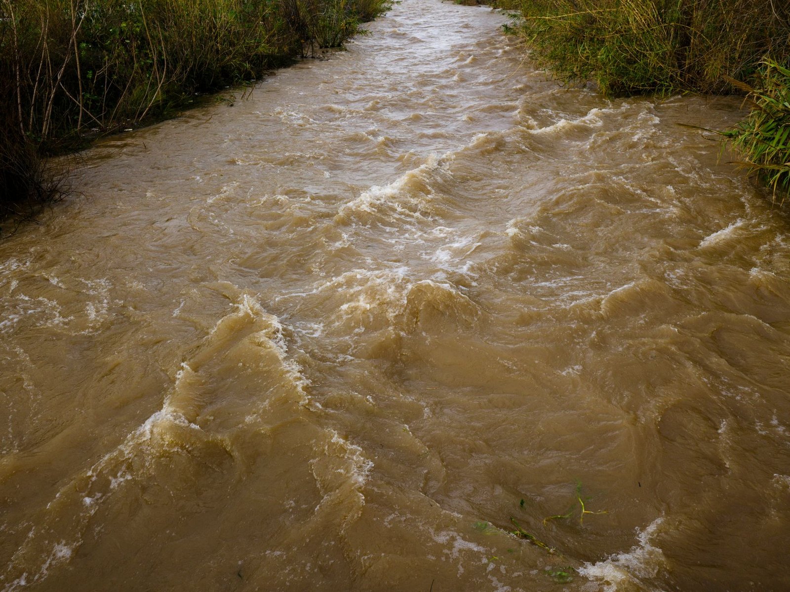
One distinction worth keeping straight: a Flood Watch means flooding could occur. A Flood Warning means it already has or is about to. Watch your phone for any upgrade; that shift in language matters.
The one rule that doesn't bend — never drive through a flooded road. Moving water deceives. A single foot of it can push a car off the pavement. If you can't see the road surface, treat it as impassable. That goes for FM 1171, Morriss Road near the low-water crossings, anywhere.
Rain is expected to continue in rounds through Friday. Keep the NWS Fort Worth forecast open, keep your phone charged, and if your neighborhood sits in a low-lying or flood-prone area, decide now where you'd go if you needed to leave.
- NWS Fort Worth — Official Flood Watch, Flower Mound (FA.A.0007)
- NWS Point Forecast: Flower Mound TX
- Town of Flower Mound — Flood Watch News Flash
- Flower Mound, TX
- WWA Summary by Location for 32.78N 96.8W with TXZ119/TXC113/TXZ119 emphasis Flood Watch
- 7-Day Forecast 33.02N 97.1W
- 7-Day Forecast 30.27N 97.74W
- Dallas Morning News — Flood Watch for North Texas: When It Starts
- Weather.com — Hurricane Polo's Moisture Triggers Flooding in South
- National Weather Service warns of flood from remnants of Hurricane Polo – TCU 360
- What Houston should know about rain Hurricane Polo will bring to Texas this week
- Texas Rain This Week: When It Hits Your Area | TSC