Flood Watch Runs Through Friday Morning as Hurricane Polo Rain Soaks Flower Mound
Thursday is the wet day to plan around — and low-water crossings will tell you faster than any radar app.
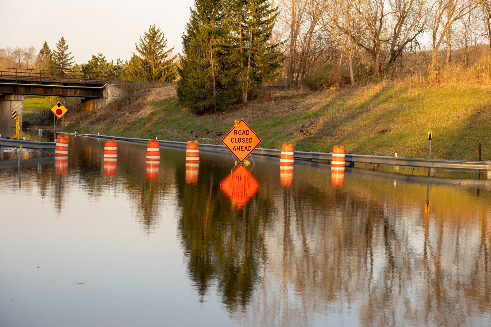
The Flood Watch that kicked in Wednesday is still running, and it doesn't expire until 7 a.m. Friday. That's the frame around your week.
The National Weather Service placed Flower Mound under a Flood Watch from September 30 through October 2 at 7 a.m. Hurricane Polo made landfall in Baja California and has been pumping tropical moisture east toward Texas. That's the engine behind all of this.
Across the wider watch zone, slow-moving showers and storms are expected to bring widespread 2 to 4 inches, with localized pockets of 5 to 7 inches possible. Thursday is where the bulk lands. Showers and possibly thunderstorms are forecast most of the day, with some capable of producing heavy rainfall. After weeks in the mid-90s, the rain and the front riding in behind it knock us down into the low 80s.
Here's why the watch level matters: all that rain on very dry soil could lead to excess runoff, and when runoff builds fast, rivers, creeks, streams, and low-lying areas can flood quickly — low-water crossings are especially vulnerable. If you live near Denton Creek, or you regularly drive low-lying spots in the area, those are the places to watch first.
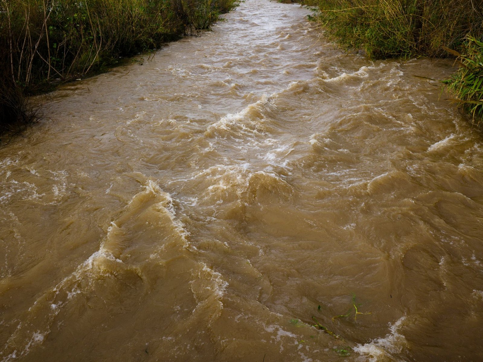
A Flood Watch means flooding could occur. A Flood Warning means it already has, or is about to. That shift in language is worth knowing cold. A Watch is a signal to prepare; a Warning is a signal to act. Keep your phone's weather alerts on.
The rule that never changes: low-water crossings may be flooded, and area creeks and streams can run high with more heavy rain on the way. One foot of moving water can push a car off a road surface. If you can't see the pavement, don't drive on it. That goes anywhere near River Walk, anywhere.
After heavy rain like this week's, turning off your sprinklers avoids both wasteful watering and additional runoff.
For updates, the Town of Flower Mound posts directly at flowermound.gov, and the NWS Fort Worth office is the authoritative source for any watch-to-warning upgrades.
- NWS Fort Worth — Flood Watch, Flower Mound TX (forecast.weather.gov)
- NWS Fort Worth — Flood Watch Text Product (WWA)
- Town of Flower Mound — Prepare for Heavy Rain, Possible Flooding from Hurricane Polo
- Zone Area Forecast for Denton County
- National Weather Service
- WWA Summary by Location for 32.78N 96.8W with TXZ119/TXC113/TXZ119 emphasis Flood Watch
- WFAA Weather Alerts — Denton County Flood Watch
- Dallas Morning News — Flood Watch starts Wednesday as Polo remnants target North Texas
- KRLD — Flood Watch starts at 4 p.m. as Polo remnants target North Texas
- Texas Flood Watch Issued As Heavy Rain Moves Toward DFW
- National Weather Service warns of flood from remnants of Hurricane Polo
- Timeline: Here's when storms, heavy rain could slam North Texas